It’s always frustrating — and humbling — to make a navigation blue right at the start.
No, I’m not talking about a recent rogaine, but my experience while vetting the forthcoming course for the Oz Champs at Goobang NP and adjacent farmland.
For those not familiar with the process, the purpose of vetting is basically to verify that the course setters have done a good job. In these days of digital mapping and nav devices, it’s unlikely that the setters will make a mistake in location — especially if their names are Dave and Ronnie — but they might make things unreasonably hard for the poor competitor armed with only paper map and compass. Or there might be an error or something missing in the mapping, or some safety issue that needs to be considered. For instance, Sarah — one of my fellow vetters — was not impressed when she found herself wading to the waist on a road that literally went under water. (Rest assured that issue has been more or less rectified since, but I won’t say how.)
It’s likely the vetters will also come up with some points that should be added to the notes provided to the competitors. Such as: control xyz should only be accessed from above by paragliding off the waterfall. Or, please refrain from causing the sheep to stampede as it may throw other teams off the scent.
Setters judge the reasonability of the course by navigating with map and compass, as if they were competing, and only using an electronic device for verification when the proposed control location (taped by the setters) is located – or not located, as happens when the tape has been removed by birds or feral goats.
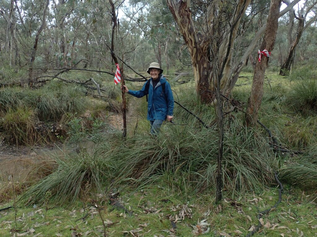
And so to my navigational blue. The course at Goobang will offer a few challenges, like all good courses. There are fences to be negotiated and cliffs to be avoided, while some areas pose rough going and patches of scrub – nothing impenetrable, but enough to slow you down and throw you off your bearing or your distance estimation.
Such a patch of scrub was my downfall. I started off (solo) on the first crisp morning, with a full day ahead of me, full of confidence. Too much confidence. Heading on a bearing for a control in “the gully” 800 metres away, I charged straight into some scrub wet from overnight rain. Some time later, after the vegetation opened up, I smelt a rat. The terrain didn’t seem to match what I expected. Soaking wet and bothered, rather than waste time trying to sort myself out I cheated and turned on my Avenza app. In my haste to get through the drenching scrub I’d strayed from my bearing, lost track of my pacing, ignored the subtleties of the terrain and overshot the target gully. In my shame, I turned Avenza off and navigated hastily but properly to the control.
Now, that’s quite a confession for a person with a happy record of category wins in rogaines and Nav Shields going back over three decades, but there it is. We all need lessons like that from time to time. Rest assured I learnt the lesson that day and made no more mistakes during the whole exercise. Stay focused, regardless of the conditions!

All that aside, The Edge will be unlike most of the events experienced by NSW rogainers. For a start, there isn’t a piece of Sydney Basin sandstone in sight, but there’s plenty to interest any geologically-minded rogainers and those with an eye for some spectacular landscape. There are no lawyer vines or leeches, and the watercourses can usually be travelled easily (except at waterfalls!) There is a species of spinifex here and there, but it’s not very spikey compared with species elsewhere in Australia (who could forget the World Champs near Alice Springs?) And the widespread things that might look like feral pine trees are actually native cypress.
Given the diversity of plants and birdlife at Goobang, it could be unwise to have a person in your team who is more interested in photographing flowers or birds than finding the next control. But of course, if you make a blue like I did, you mightn’t find that control anyway.