| Original event date |
24th Feb 2019 |
| Duration |
3 hours |
| GPS Tolerance |
15m |
| Changes from the original event: |
- The area north and west of The Horsley Drive is now out of bounds.
- There is no access through Calmsley Farm in the SW quadrant of the map – access permission was for the original event only. Control 49 was originally in this area and it has now been moved approximately 1km to the NW. The map has been updated to reflect these changes.
|
| Start Location |
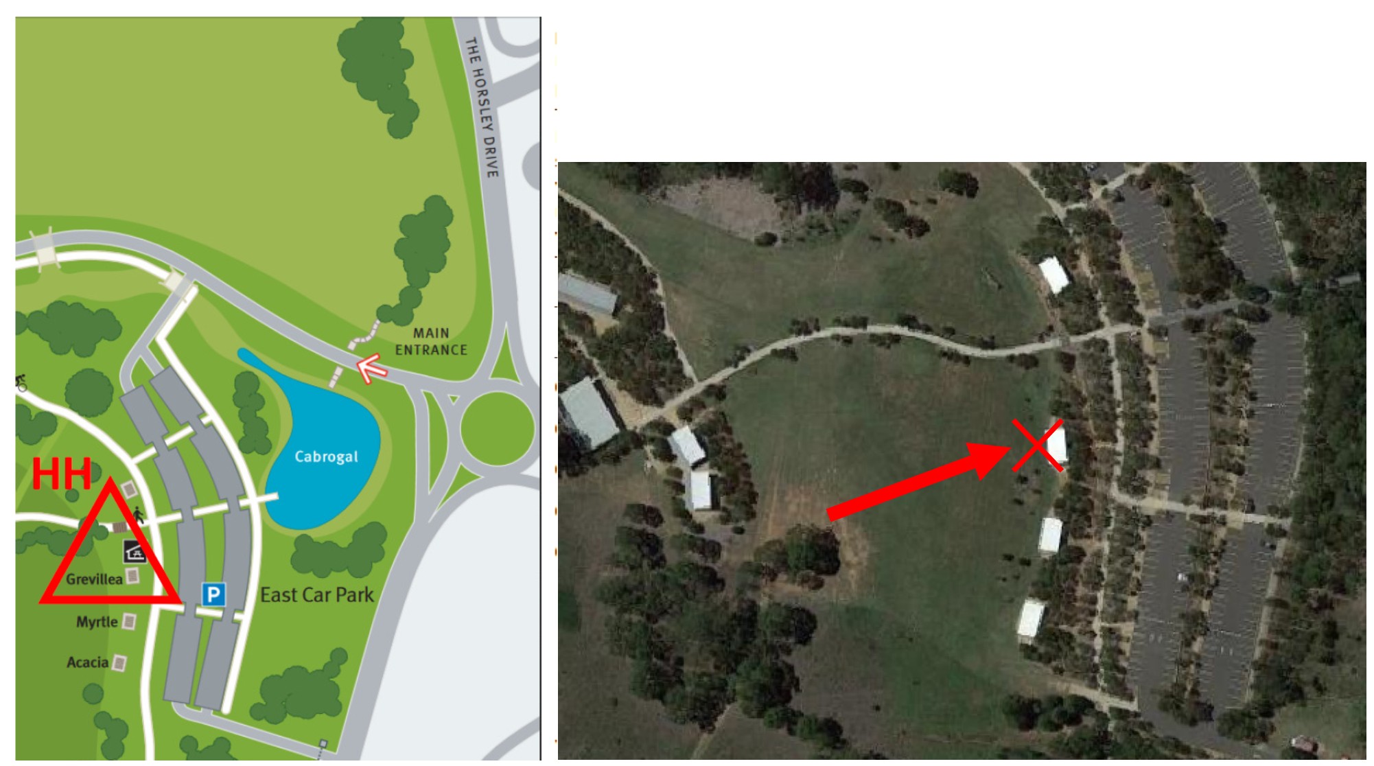
You can Start at any control. If you do, you must finish at the same control. The original HH is at a pretty good location for parking and amenities. See notes below. |
| Links |
Google Maps Link to HH
Map and Event Files
Original Event |