58th Paddy Pallin 6hr

Routes:
Click on the “Routes” button above to analyse your route and thise of your competitors. You can also upload your own GPS track. This is a great way to improve your rogaining. You can:
- Analyse your own route
- Compare your route against others
- Upload your GPS track to see every single mistake and missed opportunity.
Lost and Found:

If you were the proud owner of one of these items, you can be again by contacting admin@nswrogaining.org
Note:
With the large numbers expected at the event, please note that depending on your arrival, parking may be some distance from the start. Allow 5-7 minutes walk.
For those planning to camp, there are some areas to camp near the start. If these do fill up, there is a large area to camp abut 600m north of the start, or alternatively you can consider the Bungleboori campground on the way in about 3km south of the start especially if planning to arrive late.
About:
This year’s Paddy Pallin is a return to Newnes Plateau, right in the middle of the state forest and only 2 and a bit hours from the Harbour Bridge. The Hash House will be 11km, of good quality dirt road, from the Zig Zag railway (if you are coming from Sydney or anywhere east).
With Covid 19 hanging around we have elected to have two start windows instead of a mass start.
You can start anytime during your window:
- 08:30 – 09:00
- 09:00 – 09:30
You will choose your start window when you enter.
There will be plenty of camping near the hash house on both Friday and Saturday night.
This course will have destinations and route options for the novice navigator up through the superhuman ultra-veterans.
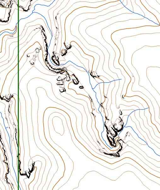
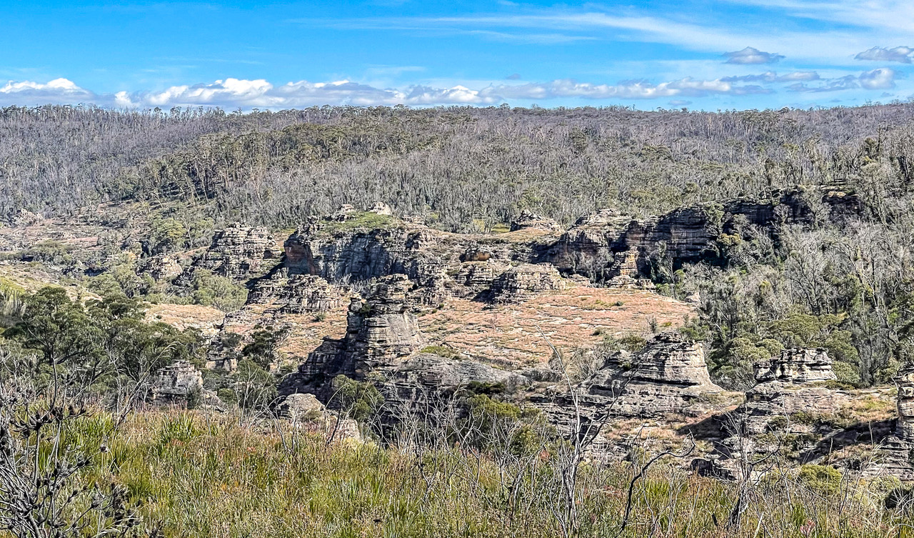
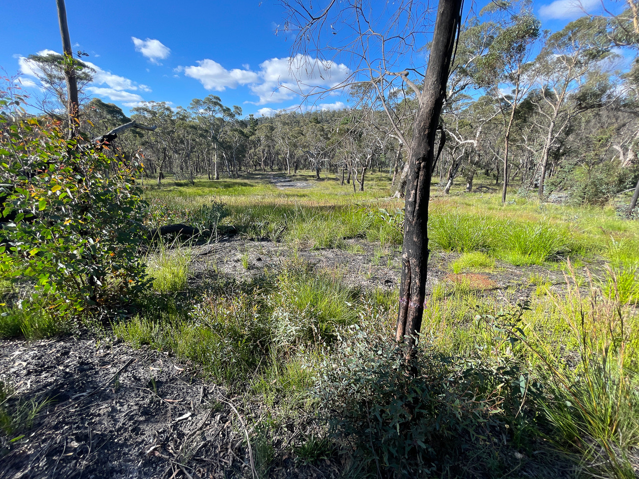
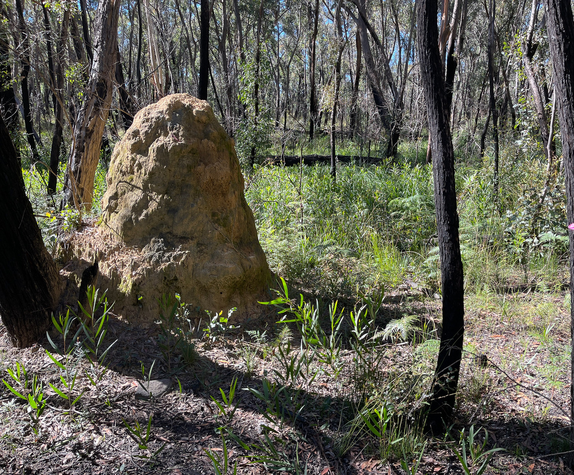
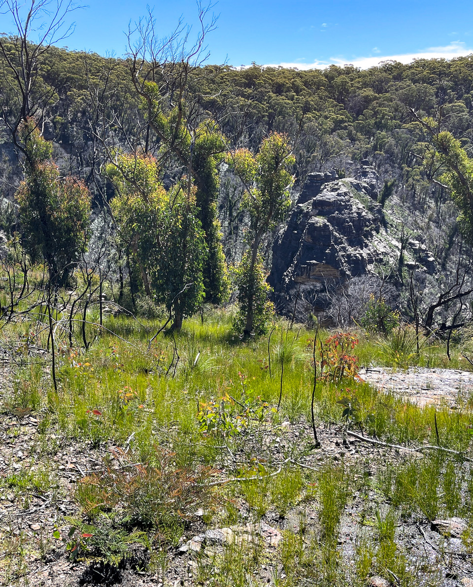
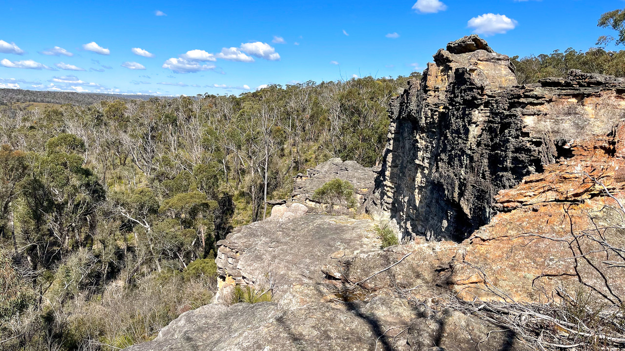
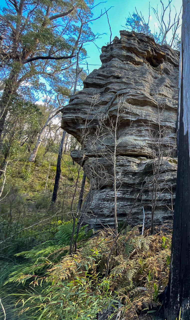
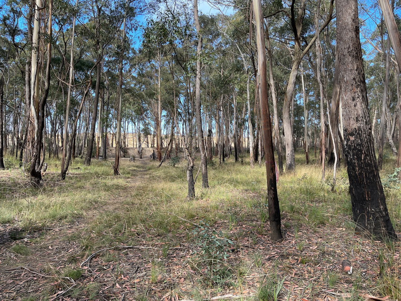
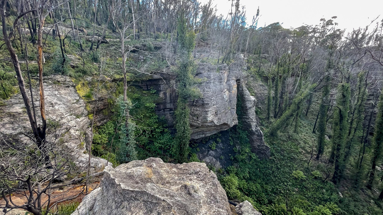
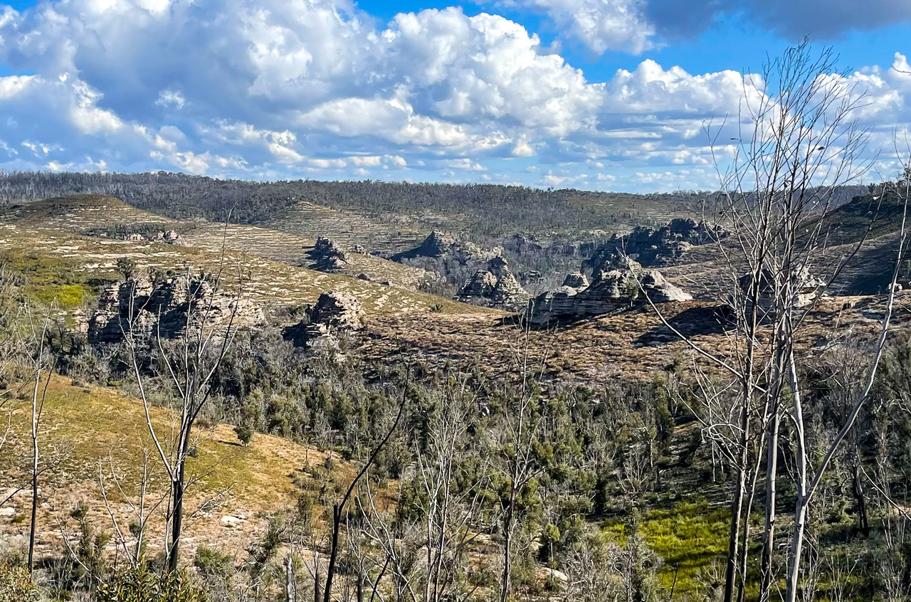
The landscape features undulating grass plains, majestic pagoda “cities”, hidden fern gullies, rough and tumble off roading tracks, former pine plantations, and Bungelboori Creek itself. There’s plenty of flatter terrain and wide spurs for those favoring a scenic and relaxed stroll, and also some steep descents down into the distinctive towering rock features around the nearby creeks.
There are many tracks to help guide (and sometimes confuse), but the course is sure to take you off the beaten (mangled) track as well.
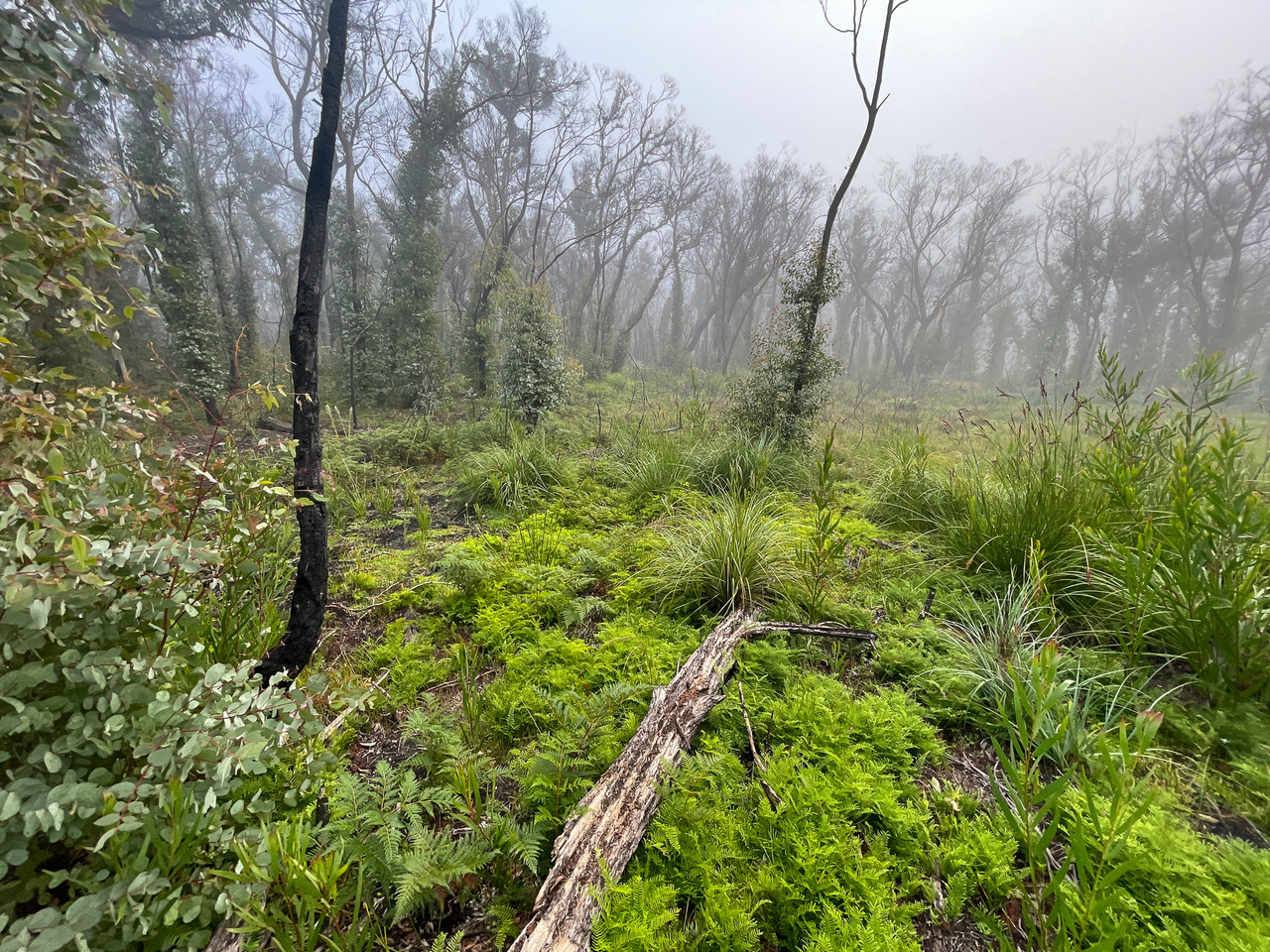
Some of the bushland was affected by the 2020 bushfires and you will see how it is quickly regenerating with explosive growth in some areas.
With 6 hours to cover the rugged and varied terrain, this one’s sure to be a challenge for those wanting to try and clear the course.
Event related queries can be directed to: admin@nswrogaining.org
Attention map nerds: